Grade 10 Science | Remote Sensing Worksheet | Alberta Standards
Description
Are your Grade 10 students exploring the fascinating world of remote sensing technologies and their applications in environmental monitoring?
🌿 This comprehensive worksheet Elena is designed to help educators build understanding of remote sensing principles, aligned with Alberta science standards. It provides a variety of question formats to challenge students and deepen their grasp of how satellite and aerial data are used to study our environment and Earth's surface.
What's Included
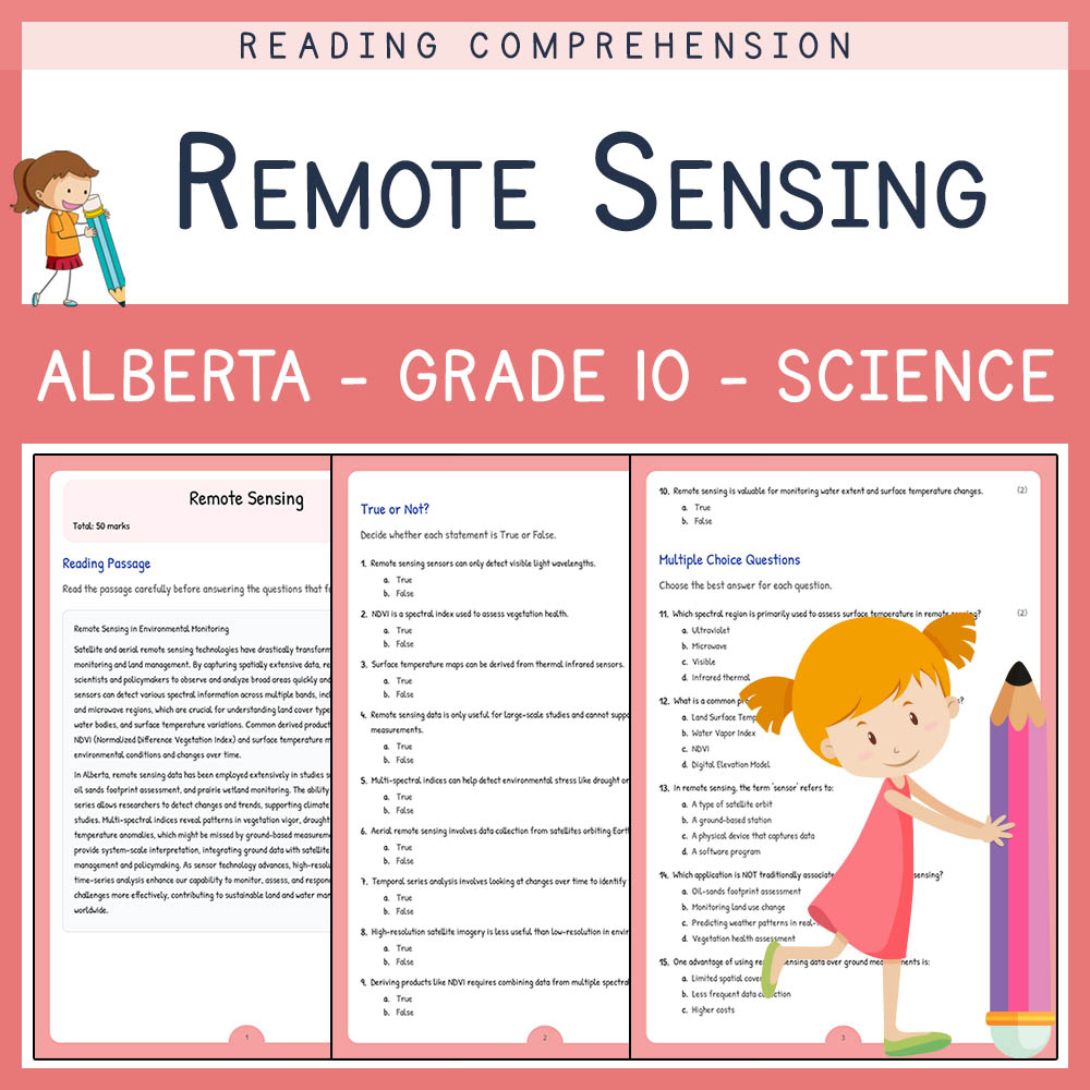
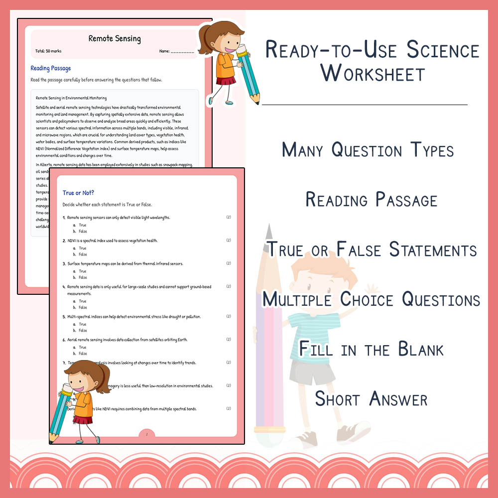
✅ Reading passage that introduces key concepts and contextual knowledge
✅ 10 True or False questions that test basic comprehension
✅ 5 Multiple Choice questions focusing on spectral regions, data use, and environmental applications
✅ 5 Fill-in-the-blank questions to reinforce terminology and key concepts
✅ 5 Short answer questions prompting critical thinking about remote sensing applications and significance
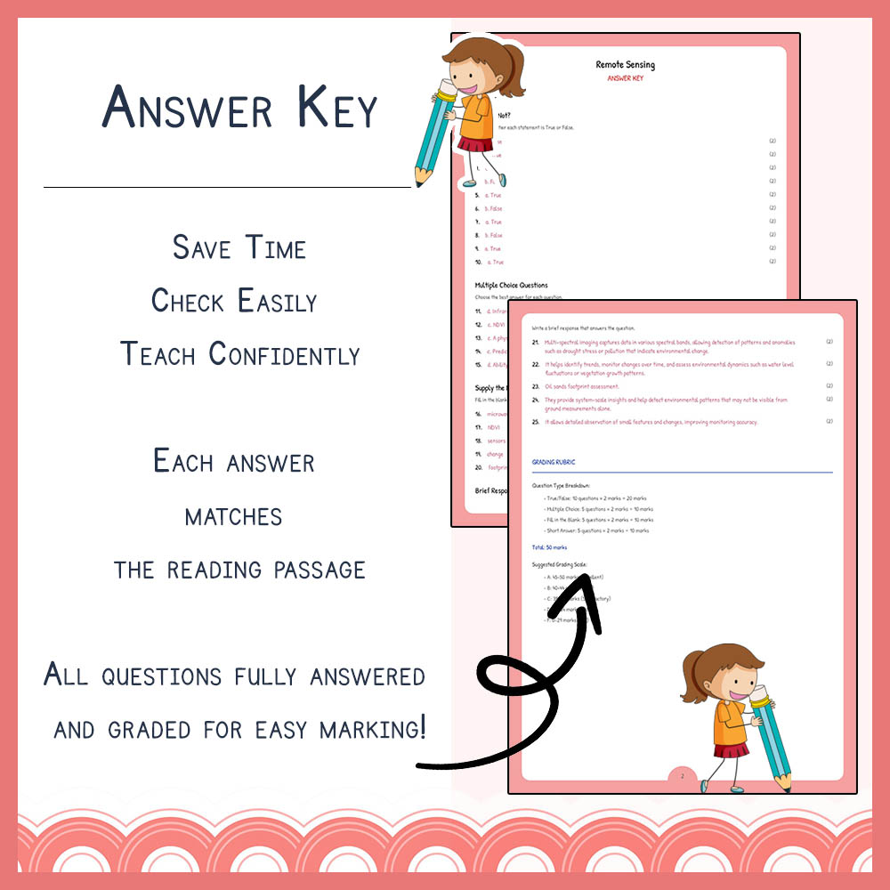
✅ PDF worksheet and PDF answer key with rubric for easy printing and assessment
✅ Suitable for classroom instruction, homework, or review activities
✅ Designed to provide a comprehensive assessment of student understanding of remote sensing topics
Key Concepts Covered
➡️ Satellite and aerial remote sensing technologies – How satellites and aerial sensors collect data about Earth's surface
➡️ Electromagnetic spectrum and spectral bands – Different wavelengths used in remote sensing and their applications
➡️ Vegetation indices such as NDVI – How spectral data are used to assess plant health and environmental conditions
➡️ Environmental change detection – Using temporal data for monitoring shifts and trends over time
➡️ Data interpretation and analysis – Skills for understanding, analyzing, and drawing conclusions from remote sensing data
Question Types / Formats
1. Reading comprehension passage to introduce core concepts
2. True or False questions to quickly assess core knowledge
3. Multiple Choice questions for targeted understanding of technical details
4. Fill-in-the-blank questions to reinforce terminology
5. Short answer questions encouraging critical thinking and application skills
Teacher Benefits
✅ Provides a structured, standards-aligned assessment resource in PDF format, suitable for easy printing and distribution
✅ Enhances student understanding through varied question formats and comprehensive coverage
✅ Supports formative assessment and review sessions, ensuring student mastery of remote sensing concepts
✅ Includes detailed answer key with rubric for seamless grading and feedback
✅ Saves planning time with ready-to-use, professionally designed worksheets aligned to Alberta standards
Student Benefits
✅ Reinforces core concepts through engaging reading and diverse question formats
✅ Builds critical thinking and analytical skills related to remote sensing data
✅ Develops vocabulary and understanding of key scientific terms
✅ Encourages application of knowledge to real-world environmental issues
✅ Supports mastery learning with targeted questions that promote deeper understanding
Perfect For
➡️ Classroom instruction and assessment of remote sensing topics
✅ Homework or independent study assignments
➡️ Review sessions prior to science tests or quizzes
✅ Substituting or supplementing existing lessons with ready-to-use worksheets
➡️ STEM project support and environmental science units
✅ Professional development activities for educators seeking to reinforce remote sensing knowledge
Ready to enhance your Science teaching? Download this dynamic worksheet today and inspire your students to explore the power of remote sensing in understanding our world! 🚀