Grade 10 Science — Worksheet MCQ Paper for Mastering Remote Sensing
Description
Imagine standing in front of your classroom, watching students work through their science assessments as they prepare to test their understanding of remote sensing. Some students may feel unsure about how satellite technology collects and analyzes data, while others are trying to connect the concepts of sensors and spectral bands. This worksheet provides a clear, straightforward way to reinforce this complex topic through a printable, paper-based format that requires no prep before class.
What This Resource Helps Students Do
This worksheet guides students in consolidating their understanding of remote sensing techniques, satellite and aerial data collection, and key terminology such as NDVI. By working through a combination of reading passage questions and multiple-choice items, students develop both their comprehension and critical thinking skills. The worksheet encourages independent review of concepts, helping students solidify their grasp of how remote sensing technologies are used in environmental monitoring, agriculture, and geographic analysis. It supports learners in distinguishing between sensor types and understanding spectral data interpretation, building confidence in their ability to apply these ideas in real-world contexts.
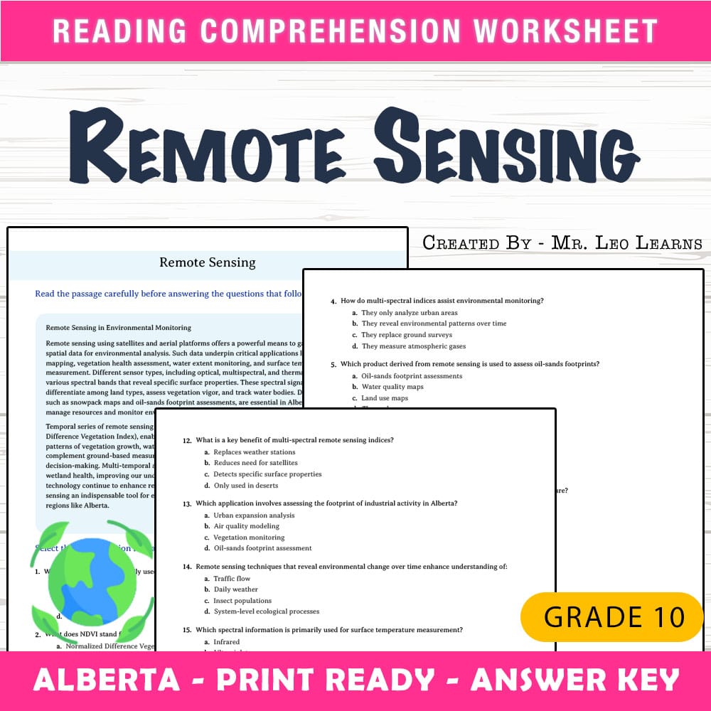
Inside the PDF• 1 reading passage question designed for comprehension and contextualization
• 25 multiple-choice questions that review key concepts and terminology
• A print-ready format that can be easily photocopied and used directly in class
• An answer key with a rubric to assist assessment and self-checking
• Clear layout optimized for classroom use and student engagement
This worksheet enhances learning by blending reading comprehension with technical quiz questions, encouraging students to improve their understanding of remote sensing concepts step-by-step. The reading passage sets the scene and introduces key ideas, helping students connect background knowledge with specific sensor functions and applications. The multiple-choice questions reinforce this understanding by prompting students to analyze, evaluate, and select the correct answers confidently. As students navigate through the questions, they develop reasoning skills necessary for interpreting satellite data and spectral analysis. The immediate feedback from the answer key fosters independent learning and self-assessment, making it easier to identify areas needing further review. Overall, this worksheet helps students move from initial confusion to a clearer grasp of the topic, supporting mastery and retention of essential science concepts.
Core Skills Students Will Develop- ➡️ reading comprehension of science texts
- ➡️ understanding satellite sensor functions
- ➡️ interpreting spectral data and indices like NDVI
- ➡️ applying critical thinking to multiple-choice questions
This worksheet can be used as classwork to introduce or review remote sensing, as homework to reinforce concepts learned during a lesson, or as an assessment tool to gauge student understanding. It is also suitable for small-group activities focused on data analysis skills or as a formative quiz at the end of a unit. Teachers may assign it to early finishers seeking extra practice or incorporate it into review sessions to prepare for tests. Its print-and-go format enables easy integration into any science classroom without additional preparation, supporting flexible instructional strategies.
Why This PDF Saves TimeThis resource requires no preparation beyond downloading and printing, saving valuable planning time. Its ready-to-use layout ensures consistent formatting and content quality, allowing teachers to distribute it immediately. The included answer key simplifies grading and review, reducing the workload while providing clear, objective assessment of student knowledge. Designed for quick photocopying, this worksheet helps maintain classroom flow and focus on teaching rather than resource creation, providing a reliable tool to support ongoing science instruction.
Complete your remote sensing unit with confidence, knowing this worksheet is classroom-ready and designed to aid student learning with clarity and structure. It is an accessible, practical resource to help students deepen their understanding and succeed in mastering key science concepts. 😊