Grade 11 Science Assessment | Remote Sensing Worksheet Elena | Ontario
Description
Are your Grade 11 students exploring the fascinating field of remote sensing and Earth's landscapes?
🌿 This comprehensive worksheet Elena is designed to support Ontario science standards by building understanding of remote sensing technologies, applications, and analysis methods through engaging activities and varied question formats.
What's Included
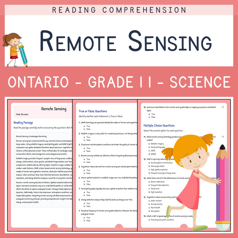
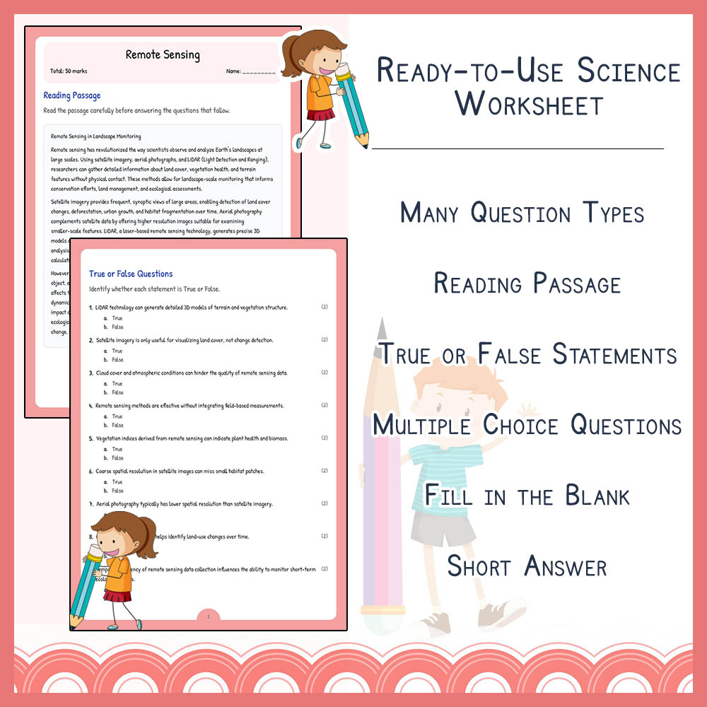
✅ Reading passage that introduces the fundamentals of remote sensing and its significance
✅ Ten true or false questions to assess foundational knowledge
✅ Five multiple choice questions that explore key technologies and applications
✅ Five fill-in-the-blank exercises to reinforce terminology
✅ Five short answer questions encouraging critical thinking and explanation
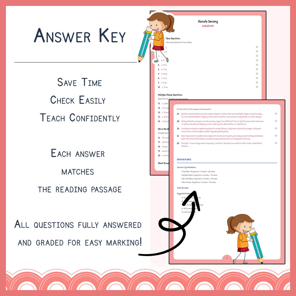
✅ PDF worksheet and PDF answer key with rubric for easy assessment and grading
✅ Designed exclusively in PDF format for effortless printing and classroom distribution
Key Concepts Covered
➡️ Remote sensing technologies – Overview of tools like satellite imaging, LiDAR, and aerial photography
➡️ Earth observation applications – How remote sensing aids environmental monitoring, urban planning, and disaster management
➡️ Image interpretation and analysis – Techniques for understanding and analyzing spatial data
➡️ Change detection – Methods to analyze land-use and land-cover changes over time
➡️ Advantages and limitations – Benefits of remote sensing tools and their constraints in real-world applications
Question Types / Formats
1. Reading comprehension passage that introduces core concepts
2. True or false questions to quickly assess understanding
3. Multiple choice questions for multiple concepts and details
4. Fill in the blank exercises to reinforce terminology and key ideas
5. Short answer questions to develop critical thinking and explanation skills
Teacher Benefits
✅ Easy preparation with ready-to_use PDF worksheet and answer key, saving valuable planning time
✅ Supports Ontario science curriculum and standard alignment
✅ Provides diverse question formats for comprehensive assessment
✅ Facilitates differentiated instruction to cater to various learning styles
✅ Clear rubrics included for quick grading and student feedback
Student Benefits
✅ Enhances understanding of remote sensing principles and technologies
✅ Develops analytical skills through interpreting images and data
✅ Encourages critical thinking with open-ended and explanation questions
✅ Reinforces vocabulary and technical terminology in context
✅ Prepares students for higher-level environmental and Earth science concepts
Perfect For
➡️ Classroom instruction on remote sensing and Earth's landscapes✅ Homework assignments to reinforce lesson material
➡️ Engaging print-and-go activities for early finishers or review sessions
➡️ Science fair preparation by understanding image analysis and data applications
➡️ Assessment tools during unit tests or individual student evaluations
➡️ Supplemental activity for GIS or Earth observation units
Ready to enhance your Science teaching? Download this dynamic worksheet today and inspire your students to explore the world of remote sensing! 🚀