Grade 11 Science | Remote Sensing Worksheet (Worksheet + Answer Key) – Ontario Standards
Description
Are your students ready to explore the fascinating world of remote sensing? 🎯 Build their understanding of how technology captures critical data about Earth's surface without physical contact with this comprehensive Grade 11 Science worksheet designed specifically for Ontario standards. This engaging resource offers a blend of reading comprehension, hands-on activities, and critical thinking exercises to enhance mastery of remote sensing concepts essential for modern environmental and earth sciences.
What's Included
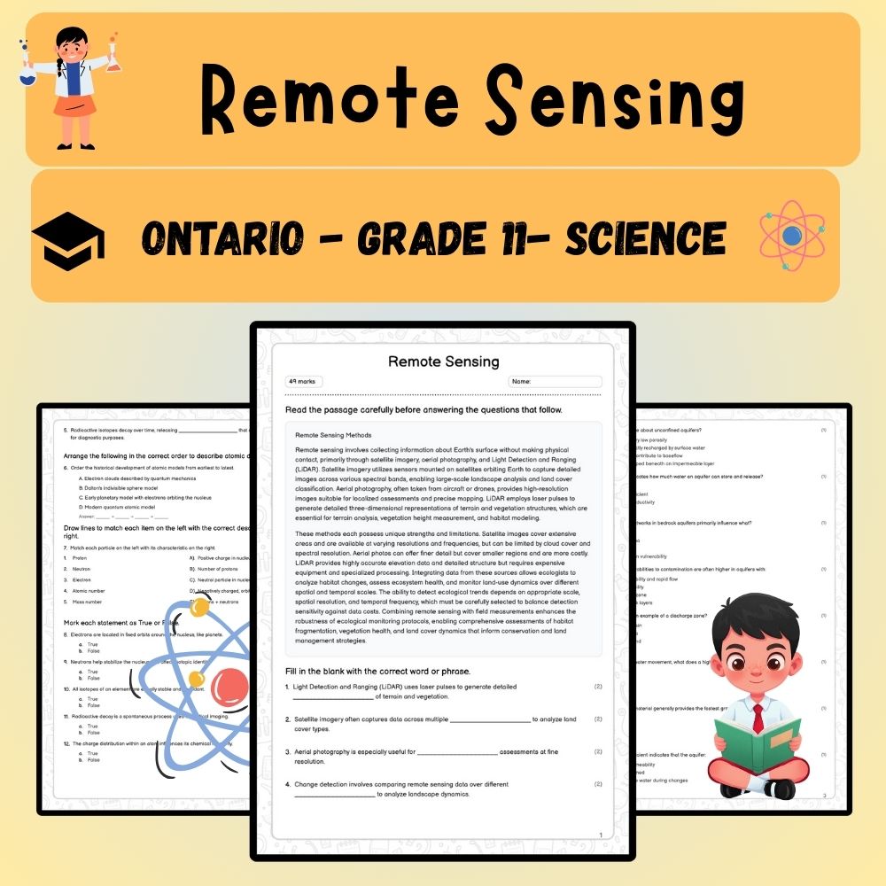
✅ One detailed reading passage explaining the fundamentals of remote sensing and its significance
✅ Five fill-in-the-blank exercises to reinforce key terminology like LiDAR and land cover analysis
✅ An ordering activity to understand the sequence of land cover classification steps
✅ Matching questions to connect remote sensing techniques with their applications
✅ True/False questions to assess understanding of technology capabilities and limitations
✅ Nine multiple-choice questions testing methods for terrain mapping and vegetation analysis
✅ Five short-answer prompts encouraging thoughtful reflection on remote sensing resolution and technological strengths and limitations
✅ An essay question promoting deep critical thinking about integrating various remote sensing scales and technologies
Key Concepts Covered
➡️ Remote sensing basics – How data is collected remotely using satellites, drones, and scanners
➡️ Technologies like LiDAR and satellite imagery – Their functions, differences, and applications
➡️ Data interpretation and analysis – Land cover classification, vegetation indices, and terrain mapping
➡️ Advantages and limitations – Accuracy, cloud cover impact, and resolution considerations
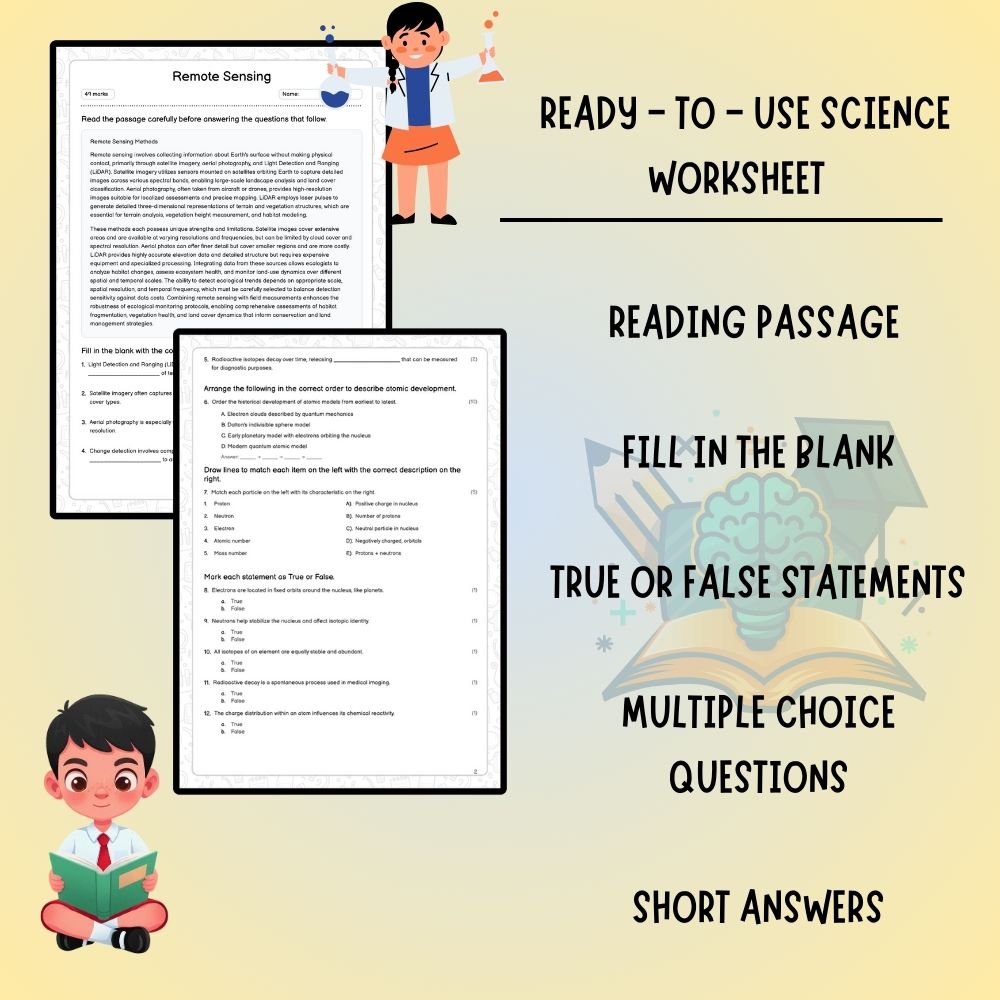
Question Types / Formats
Multiple choice questions for quick assessment
Fill-in-the-blank exercises for vocabulary reinforcement
Steps sequencing activities to reinforce process understanding
Matching items to connect techniques with features
True/False questions for quick comprehension checks
Short-answer prompts for explanations and reflections
Essay questions for in-depth analysis
Teacher Benefits
✅ Tracks student understanding across key remote sensing topics
✅ Enhances lesson planning with diverse question formats and activities
✅ Supports Ontario curriculum standards for Grade 11 Science
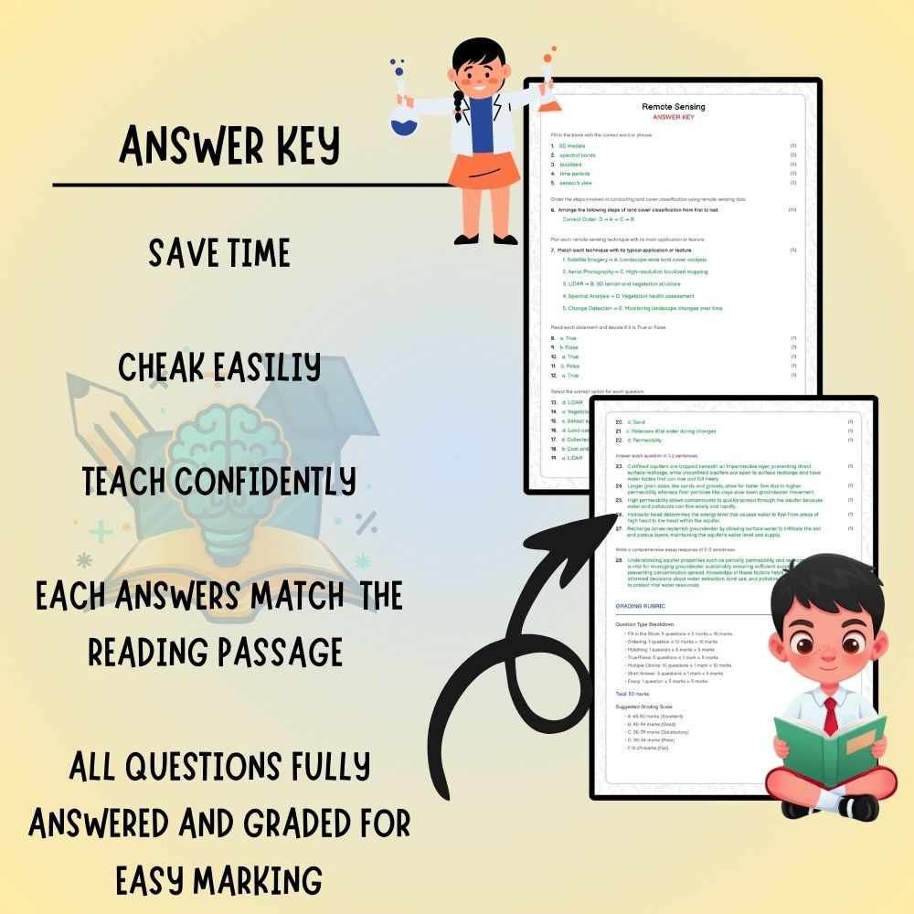
✅ Provides ready-to-use assessment and review materials to save preparation time
Student Benefits
✅ Engages learners with varied question types to reinforce concepts
✅ Develops critical thinking skills through analysis and reflection
✅ Improves understanding of complex remote sensing techniques and applications
✅ Prepares students for higher education and STEM careers involving geospatial technology
Perfect For
➡️ Classroom lessons and science labs
➡️ Distance learning modules and remote instruction
➡️ Student review sessions and test preparation
➡️ STEM project work and technology integration activities
Download now and empower your students with the latest in earth science technology! 🚀