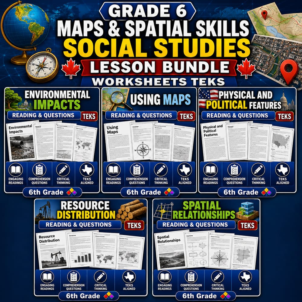
Grade 6 Maps & Spatial Skills Social Studies Lesson Bundle Worksheets TEKS — bundle cover
Grade 6 Maps & Spatial Skills Social Studies Lesson Bundle Worksheets TEKS — included worksheet 1
Grade 6 Maps & Spatial Skills Social Studies Lesson Bundle Worksheets TEKS — included worksheet 2
Grade 6 Maps & Spatial Skills Social Studies Lesson Bundle Worksheets TEKS — included worksheet 3
Grade 6 Maps & Spatial Skills Social Studies Lesson Bundle Worksheets TEKS — included worksheet 4
Grade 6 Maps & Spatial Skills Social Studies Lesson Bundle Worksheets TEKS — included worksheet 5
Grade 6 Social Studies worksheet — Grade 6 Maps & Spatial Skills Social Studies Lesson Bundle Worksheets TEKS

Description

Overview


Maps and spatial relationships practice for Grade 6 Social Studies helps students read geographic representations, describe locations, and connect features to how communities function within TEKS expectations.

This lesson bundle includes five ready-to-use worksheets designed for focused instruction on map skills, spatial thinking, and evidence-based explanations using Social Studies TEKS.

🗺️

What’s Included


  • ✅ 6th Grade Social Studies | Using Maps Worksheet (TEKS) PDF – students interpret map elements and apply reading strategies.
  • ✅ 6th Grade Social Studies | Spatial Relationships Worksheet (TEKS) PDF – students practice describing location, distance, and spatial patterns.
  • ✅ 6th Grade Social Studies Resource Distribution Worksheet (PDF) – TEKS – students connect resource distribution to where people settle and why.
  • ✅ 6th Grade Social Studies | Physical & Political Features Worksheet (TEKS) (Worksheet + Answer Key) – students distinguish physical and political features and justify classifications.
  • ✅ 6th Grade Social Studies – Environmental Impact Worksheet (PDF) – students analyze human-environment relationships and support claims with details.

Skills & Standards


Aligned to TEKS, this lesson bundle supports crosscutting concepts such as location and geographic patterns, while reinforcing disciplinary core ideas in geography and social systems. Students will use modeling through map diagrams and feature examples, then apply analytical reasoning to compare spatial relationships across representations. Each worksheet encourages evidence-based explanations by prompting students to cite map elements, describe patterns, and connect observations to outcomes (for example, how physical features influence settlement and how environmental impacts can be inferred from actions).

Perfect For


  • Teachers seeking structured instruction
  • Sub plans
  • Homework or review
  • Intervention or centers
  • Assessment preparation

How to Use


Use this lesson bundle over a multi-day pacing sequence: Day 1 (Using Maps), Day 2 (Spatial Relationships), Day 3 (Resource Distribution), Day 4 (Physical & Political Features with discussion or small groups), and Day 5 (Environmental Impact as a culminating writing or CER-style response). For differentiation, pair map-support scaffolds with guided questions, then gradually release students to complete explanations independently. Consider using the worksheet + answer key to run quick check-ins, center rotations, or targeted reteach sessions before formal assessment. Maps and spatial relationships can also be reviewed at the start of class with a 3–5 minute quick read from the prior day’s map scenario.

Closing


Download this Grade 6 Social Studies TEKS lesson bundle to strengthen maps and spatial relationships instruction with practical, assessment-ready worksheets.

Grade 6 Maps & Spatial Skills Social Studies Lesson Bundle Worksheets TEKS

$16.00$20.00Save $4.00
Sunny Desk Resources
·2 followers·18 sales
SubjectSocial StudiesGradeGrade 6Pages77 Pages

What’s included

5 worksheets · 77 pages · Save $4.00 (20%) · prices shown inside the bundle

  1. 6th Grade Social Studies – Environmental Impact Worksheet (PDF)
    6th Grade Social Studies – Environmental Impact Worksheet (PDF)

    Grade 6 · Social Studies · 16 Pages

    • Explain how natural processes (like flooding, volcanism, and climate variation) can shape where people live and work
    • Describe how human choices can increase or reduce environmental risks over time
    • Evaluate how resources and economic activities change when environments shift
    $3.20$4.00
  2. 6th Grade Social Studies | Using Maps Worksheet (TEKS) PDF
    6th Grade Social Studies | Using Maps Worksheet (TEKS) PDF

    Grade 6 · Social Studies · 14 Pages

    • Explain how map legends, symbols, and scale help people interpret geographic information.
    • Identify how aerial imagery and map features reveal spatial patterns in regions and settlements.
    • Use maps to describe relationships between transportation networks, landforms, and where people live.
    $3.20$4.00
  3. 6th Grade Social Studies | Physical & Political Features Worksheet (TEKS) (Worksheet + Answer Key)
    6th Grade Social Studies | Physical & Political Features Worksheet (TEKS) (Worksheet + Answer Key)

    Grade 6 · Social Studies · 16 Pages

    • Identify major physical features (mountain ranges, rivers, plains) and describe their basic characteristics.
    • Explain how physical geography can influence political boundaries such as countries, states, and cities.
    • Compare how physical and political features work together to shape transportation routes and regional identities.
    $3.20$4.00
  4. 6th Grade Social Studies Resource Distribution Worksheet (PDF) – TEKS
    6th Grade Social Studies Resource Distribution Worksheet (PDF) – TEKS

    Grade 6 · Social Studies · 14 Pages

    • Explain how the location of natural resources (water, minerals, and arable land) affects where people live and build communities.
    • Describe how resource availability and population density can influence economic development in a region.
    • Use examples to connect spatial patterns of resources and populations to regional growth and trade.
    $3.20$4.00
  5. 6th Grade Social Studies | Spatial Relationships Worksheet (TEKS) PDF
    6th Grade Social Studies | Spatial Relationships Worksheet (TEKS) PDF

    Grade 6 · Social Studies · 17 Pages

    • Explain how spatial relationships among natural and human-made features influence regional development and trade routes.
    • Interpret geographic tools and data (maps, GPS, GIS) to recognize patterns in a region.
    • Analyze how political features and environmental influences affect cultural connections and stability over time.
    $3.20$4.00

Reviews & Feedback

Loading reviews...

Questions & Answers

Loading questions…

About this bundle

Related categories

Frequently asked questions

Who is Grade 6 Maps & Spatial Skills Social Studies Lesson Bundle Worksheets TEKS designed for?
Grade 6 Maps & Spatial Skills Social Studies Lesson Bundle Worksheets TEKS is designed for Grade 6 students and Social Studies learners and can be used in classrooms, homeschool, or independent practice.
How do I download Grade 6 Maps & Spatial Skills Social Studies Lesson Bundle Worksheets TEKS?
Add it to your cart and complete checkout. After payment, you can download immediately from your account, and you'll also receive a download link by email.