
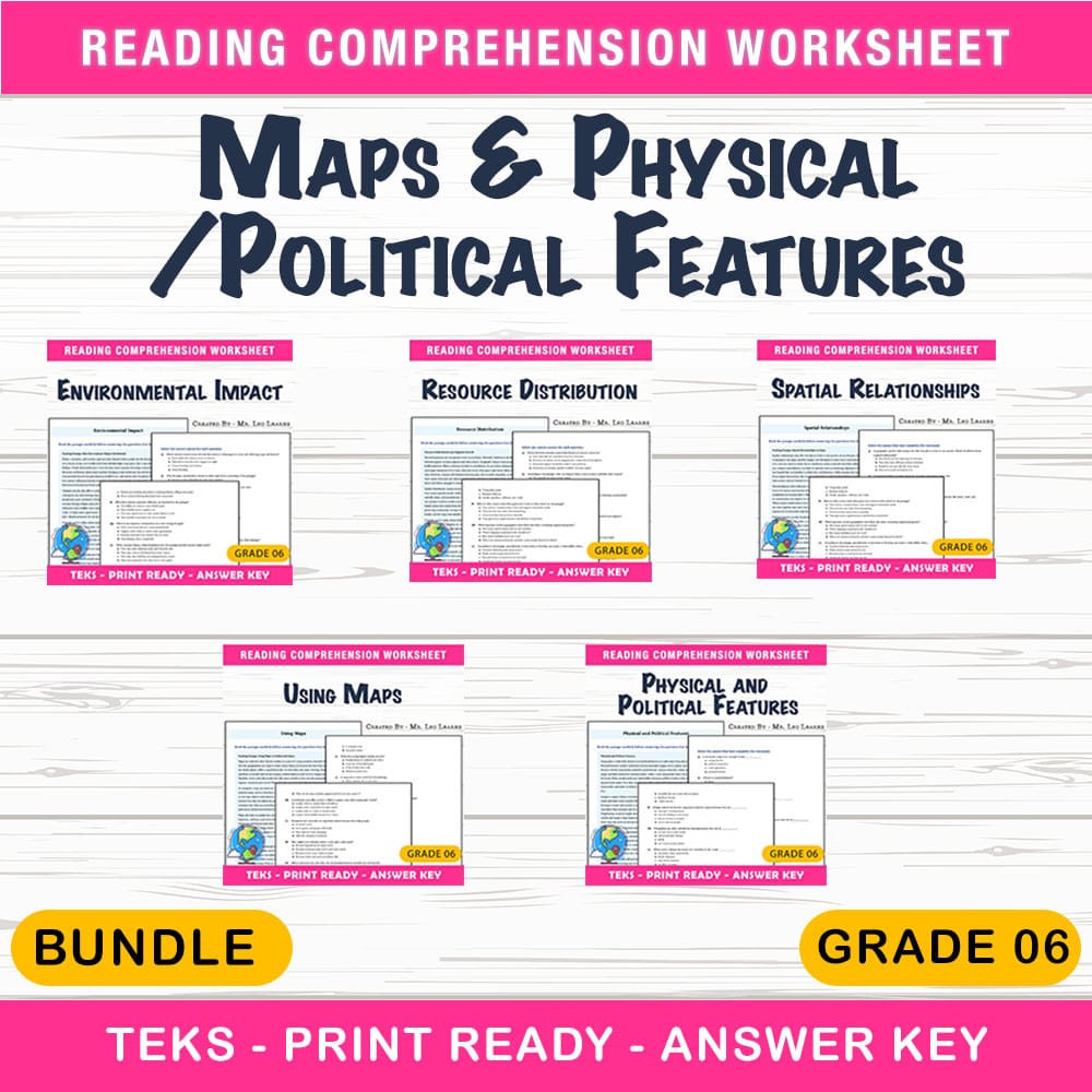
Maps & Physical/Political Features Lesson Bundle | Grade 6 Social Studies | TEKS
$12.00$15.00Save $3.00
The Resource Hub
·2 followers·9 sales
GradeGrade 6Pages48 Pages
What’s included
5 worksheets · 48 pages · Save $3.00 (20%) · prices shown inside the bundle
 Grade 6 Social Studies — Using Maps Worksheet MCQ Paper for Mastery
- Explain how maps, globes, and aerial imagery help us understand spatial patterns on Earth
- Interpret map legends, symbols, directions, and scales to make geographic meaning
- Use map information to describe how transportation networks and settlement patterns are related to geographic features
$2.40$3.00 Grade 6 — Worksheet MCQ Paper for Mastering Physical and Political Features
- Identify physical features (mountain ranges, rivers, plains) and explain how they affect human activity.
- Recognize political features (countries, states, cities) and describe how borders may follow physical landmarks.
- Compare how geography and political decisions shape transportation routes and regional organization.
$2.40$3.00 Grade 6 Social Studies — Spatial Relationships Worksheet for Mastery
- Describe spatial relationships using distance, direction, and location
- Use map features (scale, legend, compass directions) to interpret geographic information
- Explain how natural features and political features influence trade, settlement, and regional development
$2.40$3.00 Grade 6 Social Studies — Environmental Impact Worksheet MCQ Paper
- Explain how natural processes such as flooding, volcanic activity, and climate variation can influence where humans settle and what economic activities they develop.
- Identify cause-and-effect relationships between environmental changes and human responses (such as building levees or changing farming practices).
- Analyze how coastal and river-valley case studies show the interconnectedness of natural forces and human choices.
$2.40$3.00 Grade 6 Social Studies — Resource Distribution Worksheet MCQ Paper
- Explain how the spatial distribution of natural resources can influence where people live and work
- Describe how population density affects access to resources and regional economic development
- Interpret how trade and infrastructure connect resource-rich areas with population-heavy areas
$2.40$3.00
Reviews & Feedback
Loading reviews...
Questions & Answers
Loading questions…
About this bundle
Related categories
Frequently asked questions
Who is Maps & Physical/Political Features Lesson Bundle | Grade 6 Social Studies | TEKS designed for?
Maps & Physical/Political Features Lesson Bundle | Grade 6 Social Studies | TEKS is designed for Grade 6 students and can be used in classrooms, homeschool, or independent practice.
How do I download Maps & Physical/Political Features Lesson Bundle | Grade 6 Social Studies | TEKS?
Add it to your cart and complete checkout. After payment, you can download immediately from your account, and you'll also receive a download link by email.


